
Cutting-edge digital construction tools unveiled at GITEX 2024
17 October 2024
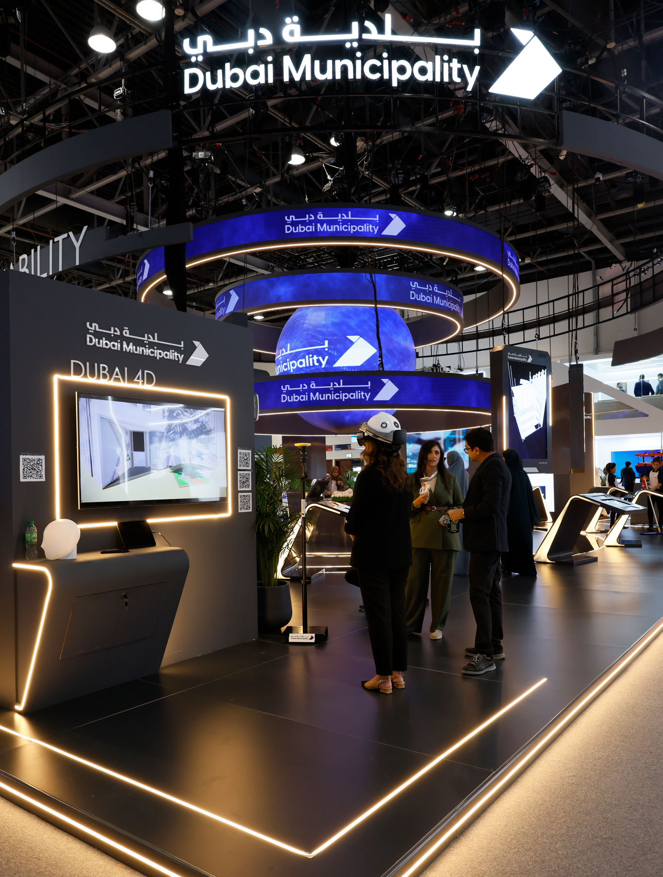
Dubai Municipality unveils six digital projects for construction and mapping at GITEX 2024
- Maryam Al Muhairi: “Advanced technologies enhance building control services, improving urban safety and infrastructure.”
- Smart applications streamline customer experiences and benefit the broader community.
- Leveraging innovation to deliver top-tier services, stay ahead of rapid developments, and reinforce Dubai’s global competitiveness.
Dubai Municipality has unveiled six advanced digital projects at GITEX Global 2024, showcasing innovative solutions in building control, construction monitoring, and digital mapping.
The Dubai Municipality’s showcase of these solutions during GITEX, held at the Dubai World Trade Center—which is considered one of the largest and most comprehensive tech exhibitions in the digital economy sector—aligns with its ongoing efforts to keep up with the latest innovations in the rapidly evolving world of technology. By employing these innovations to serve its clients, the municipality enhances Dubai’s leadership in global digital competitiveness.
Mariam Al Muhairi, CEO of the Building Regulation and Permits Agency at Dubai Municipality remarked: “Dubai Municipality is committed to embracing the latest technologies and digital innovations to enhance our building control services. This effort enhances the efficiency of construction operations, reduce time and costs, minimize reliance on unskilled labor, improve smart monitoring of buildings around the clock, and provide geospatial information and digital maps to deliver smart services. Ultimately, this will enhance decision-making and lead to a smart, sustainable, and globally advanced construction sector.”
The Dubai 4D project is a key part of the Municipality’s digital transformation efforts. It uses advanced smart technologies for long-term monitoring of existing buildings and real-time monitoring of those under construction. By employing sensors supported by GPS and augmented reality, this system provides instant reports and accurate readings on the condition of buildings, enabling swift and informed decision-making. This project not only improves construction safety but also promotes sustainable solutions that reduce environmental impact and extend the lifespan of buildings.
The ‘Chat with Building Code’ which utilizes generative AI, helps engineers and specialists conduct intelligent searches within the Dubai Building Code by asking questions and receiving detailed answers directly. This service, launched as part of Dubai’s Building Licensing System (Dubai Construction Platform), facilitates effective and quick searches within the code, which contains approximately 900 pages. The Dubai Building Code, established by Decree No. 45 of 2021, includes all design requirements that must be considered to ensure the health and safety of its users and those affected by it, while also promoting sustainability.
Dubai Building Permits App works on mobile devices and provides a comprehensive package of services and information related to building licensing in the Emirate of Dubai. As part of its efforts to improve service quality, Dubai Municipality conducted a complete update and redesign of the user experience and services of the application, targeting owners, contractors, and consultants. The app aims to offer proactive and user-friendly digital services, which reduces effort and saves time for project owners, thereby increasing their satisfaction levels.
The Geospatial Survey Project for Water Bodies aims to enhance surveying capabilities by integrating and installing a lidar surveying system on the surface of a vessel. This integration allows for simultaneous surveys of various environments underwater and coastal environments along shallow water areas, such as the Dubai Water Canal. It enables the collection and analysis of comprehensive data with high precision, reducing the time and resources needed compared to traditional surveying methods. The project seeks to improve geospatial surveying capabilities in Dubai and enhance its accuracy, as well as increase efficiency by minimizing the time and human effort required for surveys and improving the understanding of environmental changes in coastal areas, such as sedimentation and water pressure fluctuations.
The Robot Scanner collects and analyzes geospatial survey data using the latest technologies. This robot is capable of surveying government assets, including buildings, landmarks, and infrastructure networks such as water, sewage, and electricity systems, both above ground and underground. It can perform precise surveys, providing high-resolution data that can be used to enhance urban planning and infrastructure management. The project aims to increase the speed and accuracy of surveys compared to traditional methods and to obtain detailed data from above ground, such as buildings and landmarks, as well as underground, such as water and electricity networks. Additionally, it supports decision-making by providing accurate data that contributes to the planning of new projects, infrastructure maintenance, and urban asset management.
Finally, the ‘Chat with Dubai Maps‘ provides a smart service that utilizes generative artificial intelligence to query landmarks, information, and locations within the geospatial database, displaying the results directly on the Dubai map on the screen. This includes areas, lands, addresses, important landmarks, assets, and more. The project aims to simplify access to geospatial information and enhance the user experience, supporting decision-making by providing immediate and updated information that is useful for planning.
GITEX Global runs until 18 October 2024 at the Dubai World Trade Centre. Visitors can explore Dubai Municipality’s pavilion to learn more about these innovative projects and how they are shaping Dubai’s journey towards becoming a smarter, more sustainable city.