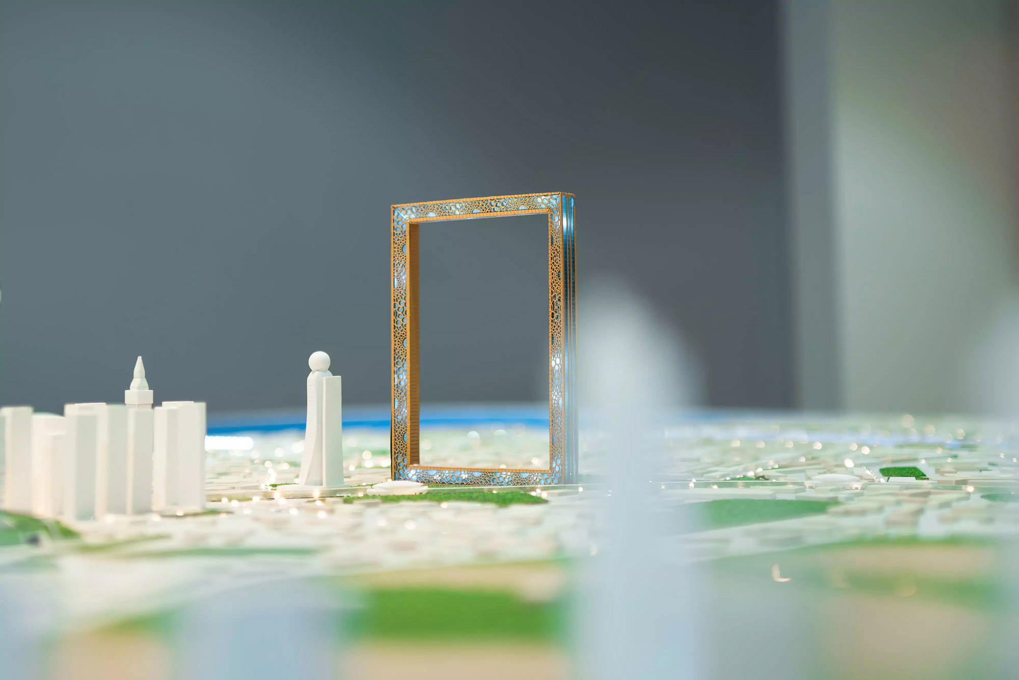
Geospatial maps for smarter urban planning and building
12 January 2024
Dubai Municipality recently launched a new digital twin platform on their “Dubai Here” portal, giving government entities, partners, private companies, and students access to comprehensive geospatial data. The team at the Geographic Information Systems Centre (GISC) have used cutting technology to create one of the most advanced digital twin projects in the world. The digital twin is essentially a virtual representation of Dubai in the form of 3D maps generated by using a combination of technologies including the Internet of Things (IoT), machine learning, artificial intelligence (AI), and data analytics to create a dynamic and real-time replica of the physical counterpart.
By creating this virtual model, planners can simulate different development scenarios and evaluate their impact on energy usage, traffic congestion, air quality, and other factors. Digital twins are one of the most exciting areas of change in the built environment today as they enable architects and developers to create highly realistic virtual models of buildings and test out different design scenarios using the powerful tool. Machine learning algorithms also provide valuable insights into building performance by analysing real-time data and identifying patterns, trends, and anomalies. For example, based on historical data and weather forecasts, machine learning can predict energy usage and identify potential maintenance issues before they become critical.
Dubai Municipality strives to use pioneering technology to promote economic growth and sustainable development.


