Visibility
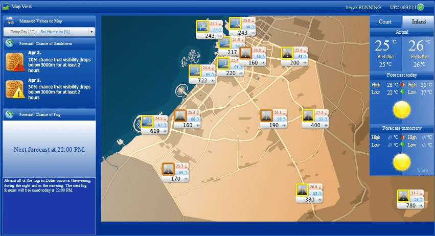
Visibility system consist of eighteen weather stations observe all weather parameters systemic and continually 24 hours send and save in the data base to be use for sandstorm and weather forecasting , to provide a public service on surface traffic safety and to manage traffic weather problems in Dubai highways and intercity link roads . these information use by operators on duty to support the decision making process and enable early warning on fog and sand storm ( low visibility) ,heavy rain, extreme temperature and other weather phenomena.


Fog
is a hazardous weather phenomenon that reduces visibility and thus prevents standard operation on roads, sea, airports. Poor visibility is a common cause temperature and other weather phenomena f many road accidents in the United Arab Emirates.
Sand Storm
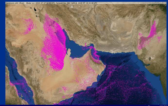
is a natural occurring phenomenon, it can pose great challenge for big cities, urban areas and human society living near desert region. The Arabian peninsula is more severely affected by sand storms.
The sand storm can create major issues to the transportation industry mainly the airline landing & takeoff operations, road safety by making the driving conditions more risky. Outdoor work as well as leisure activities are also affected.
The fine dust spread from a sand storm is also a major health concern. It can go into our respiratory system through breathing. These smaller dust particles have a greater potential to cause serious harm to our health and brings increasing risk like allergic reactions, asthma, chest pain & wheezing.
Having sand storm monitoring forecasting system is powerful for us to plan and take precautionary steps to minimize the adverse effects of sand storms.

Weather Radar and rainfall
Mini Meteorological Radar MMR is a unique portable X-band weather radar with large functionality integrated in small device. It provides real time insight to weather situation up to 200 km range. It use for rain monitoring and can be further used for watersheds management, global warming adaptation strategies, flood protection, operative weather forecast.

Tidal Stations :
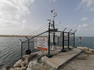
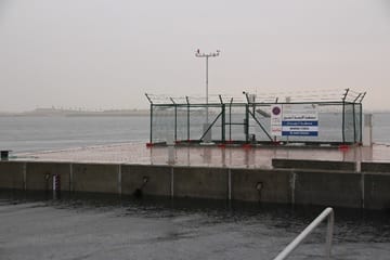
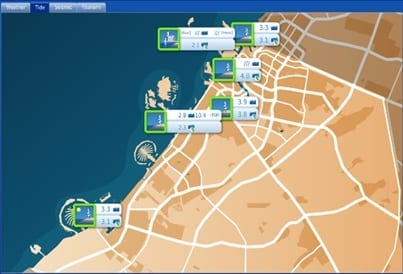
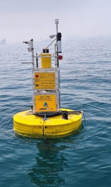
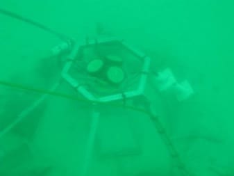
DM Establishment of high quality 6 Tide-Met stations along Dubai coast and Dubai Creek to measure water level for long term and meteorological parameters. And also DM has deployed two offshore buoys to observe offshore tide and marine meteorological for application to climate, oceanographic and coastal sea level monitoring in additional all tide station are support the hydrography survey and marine warning system.
Tsunamis:
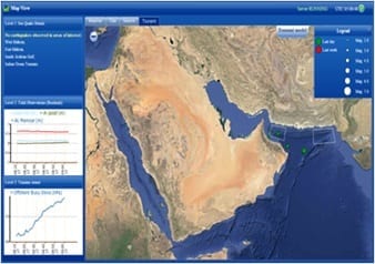
Tsunami (The Great Wave) are tidal waves triggered because of the high intensity Earth Quake or Volcanic activates at the sea bed Central station for integrated.
Tsunamis are characterized as shallow-water waves due to their long periods and wavelengths. As tsunami leaves deep sea and travels toward shallow coast, it transforms.
Tsunami travel much slower in shallower coastal water where their wave heights begin to increases.
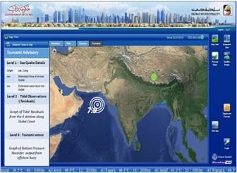
Tsunami Monitoring & Early Warning System with central data collection & database established at DM and development of Tsunami monitoring & tidal model for tides & surface current.
Offshore and coastal feature can determine the size and impact of tsunami waves
Tsunami early warning system is used to detect in advance and issue warnings to prevent loss of life and damage.
Najm Suhail Application
Survey Department established a new version weather App named NAJM SUHAIL which available in Apple Store and google play. It is the new way of communicating and serving its client through providing continuous real-time information on weather. With high resolution observation and accurate weather information from our 18 Automatic Weather Station including 6 coastal stations spread whole over Dubai Emirates.
This App have so many new features that you can see in real time according to your location
This includes detailed Forecast of Locations ( Temperature, Humidity, Pressure, Wind Speed and Direction, Visibility, Water Temperature)
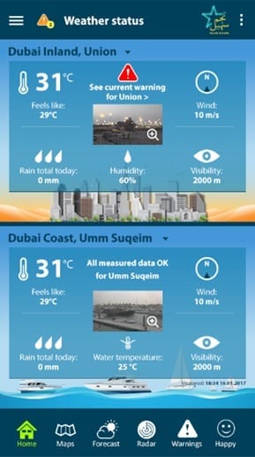

- Real Time Camera
- Forecast Model
- Sandstorm Model Forecast
- Real Time Radar Images of Cloud and Thunderstorm Movements
- Real Time Satellite Images of Cloud and Dust Storm
- Actual & Forecast Warning
- Dubai Weather Map According to Location.
- On Time contact with Meteorologists.

